Welcome
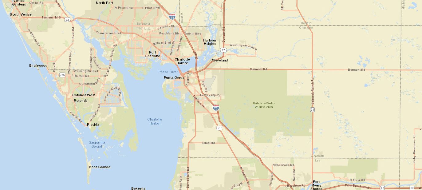
ConnectPed was made available to the public in 2020. It displays pedestrian and bicycle related data geographically on a map. Having these data all in one place facilitates data driven decision making and sharing information with FDOT’s partners.
Get Started
Use Google Chrome or Mozilla Firefox for the best experience.
Access ConnectPed here, click on the map below or through the link below:
https://fdot.maps.arcgis.com/apps/webappviewer/index.html?id=0e179df3bae4403cbac896f42f98fe13


